
West Bend ZIP Areas at a Glance
Washington County's official GIS address-point layer verifies two postal values for addresses labeled West Bend: 53090 and 53095. A county parks and open-space survey calls them Northern West Bend and Southern West Bend. Those names are survey shorthand, not formal USPS boundary descriptions. The same West Bend Post Office is the locally identified facility for both rows, and the exact service area still must be checked address by address.
| ZIP | Local Area Label | Post Office | Practical Note |
|---|---|---|---|
| 53090 | Northern West Bend in the county survey | West Bend Post Office, 607 Elm Street | Standard delivery ZIP; verify the full address with USPS |
| 53095 | Southern West Bend in the county survey | West Bend Post Office, 607 Elm Street | Standard delivery ZIP; postal and city limits are not the same |
No official source inspected for this project identified a West Bend PO-box-only or unique-institution ZIP. No verified split or realignment date was found either. The West Bend ZIP code directory therefore stays with the two codes actually present in county address data and avoids adding nearby postal areas by guesswork.
Verify West Bend ZIP Codes with USPS
USPS ZIP Code Lookup is the final check for a current mailing address. Enter the street address, city, and state. The tool returns the standardized postal result, which is more precise than relying on a broad online map. That matters near municipal edges and when a familiar place name differs from the government unit responsible for taxes or permits.
| USPS field | What to enter |
|---|---|
| Street address | The complete current delivery address |
| City | West Bend when that is the postal city on the address |
| State | Wisconsin |
Open the USPS address lookup before viewing the captured form below.
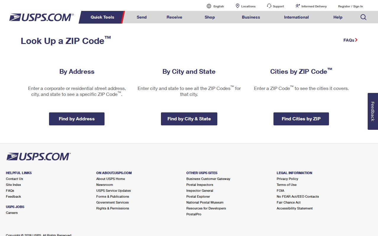
The returned code confirms mail delivery. It does not prove that the address sits inside West Bend's corporate boundary or that a named person lives there.
How West Bend Divides North and South
The county survey's north and south labels are useful orientation points. It reported 91 responses from 53090 and 172 from 53095, equal to 14.8 percent and 28.1 percent of that survey's responses. Those figures describe survey participants, not the Census population of either postal area. They should never be turned into resident totals.
The county GIS is stronger for address work because its points carry ZIPCODE, MAILCITY, and MUNICIPALITY attributes. That trio lets a researcher ask whether an address has a West Bend postal label, which code it uses, and which municipality governs the site. This geography check is one of the most useful parts of a West Bend ZIP code directory.
Find West Bend Residents by ZIP
Local public portals do not provide a simple, unrestricted list of residents by postal code. AssessorData accepts a property street address or tax key, but its landing screen does not show a ZIP filter. MyVote requires a first name, last name, and birth date and is not a ZIP directory. For a true ZIP-wide parcel slice, the documented path is county GIS data or a records request for address points and parcels, followed by a tax-key join.
- Check the full street address in USPS ZIP Code Lookup and save the standardized result.
- Find the GIS address point. Compare ZIPCODE, MAILCITY, and MUNICIPALITY, then note its parcel tax key.
- Query the property or tax record by address or tax key. Do not treat an owner as every occupant.
- For a broad ZIP slice, ask Washington County GIS for the suitable address-point or parcel data and documented fields.
- Once the area is narrow, use the West Bend street directory workflow for address-level research.
This process keeps the postal filter separate from the source that answers the real question. A ZIP narrows geography. It does not replace the parcel, court, voter, or historic record.
Join West Bend ZIP Data to Parcels
WashCoGIS includes address points, parcels, roads, municipalities, polling places, wards, districts, railroads, and boundaries. Washington County's land-information plan reports complete digital parcel coverage and says the tax key joins parcel geometry to common tax-roll facts. A tax key is the county's parcel identifier. One plan example is T4-066600B, though the public municipal-code legend for West Bend was not located.
Use the physical or situs address for the building location. Use a mailing address for tax correspondence. Use the legal description, such as lot, block, subdivision, or certified survey map, when a street number has changed. Keeping those three address types apart prevents a postal result from being mistaken for a deed description or a mailing contact.
Boundary check. Compare the GIS municipality with MAILCITY and ZIPCODE before sending a permit, tax, or records request.
County land systems provide several ways to continue after that comparison. The LandRecords parcel view can show ownership, physical and mailing addresses, a short legal description, assessment classes and values, taxing districts, tax and payment history, parcel lineage, and tax-bill scans. The Treasurer's tax inquiry adds receipts, delinquency, special-tax information, and parcel-history clues. These fields belong to the land record, not to the ZIP itself. A mailing address may point to where an owner receives notices while the situs address marks the land in West Bend.
For help beyond the map, the Washington County Real Property Lister and GIS staff provide office access at the Government Center, and a narrow request may be made under Wisconsin Public Records Law. State the ZIP value, municipality, record type, and desired date range. The custodian may provide an existing data extract but does not have to create a new West Bend resident list. This fallback matters when the web map is unavailable or a broad query exceeds the viewer's practical limits.
West Bend Post Office Details
The verified USPS facility is the West Bend Post Office at 607 Elm Street, West Bend, WI 53095-9998. Its published phone is 262-334-3299. Listed retail hours are Monday through Friday from 8:30 a.m. to 5:00 p.m., Saturday from 8:30 a.m. to noon, and closed Sunday. Service hours can change, so check the USPS location listing before a visit.
This post office address appears under 53095, but it should not be used to infer that 53095 serves every West Bend address. The county address layer shows both 53090 and 53095. USPS remains the authority for the exact delivery code and ZIP+4 attached to one street address.
Government offices illustrate the same point. City Hall uses a 53095 address, while the Washington County Justice Center uses 53090. Both serve West Bend, but each keeps a different class of records. The city assessor and building inspector work from City Hall. Circuit-court and probate files route to the Justice Center. Select the custodian by the record sought, not by the ZIP printed on the office envelope.
Old West Bend Records Predate ZIP Codes
Nineteenth-century West Bend sources cannot be searched by a modern postal code. The 1859 Washington County map uses township and range, landowner names, roads, rail lines, lakes, streams, and an inset spelled "Westbend." The 1884 Sanborn map covers two sheets and records buildings, businesses, hydrants, mains, street widths, and fire-risk details. City phone books begin much later, with a documented run from 1930 through 1995.
The railway's 1872-73 arrival shifted growth east of the Milwaukee River. That local change helps explain why an old legal description, map feature, or road may not line up neatly with a present-day postal search. Start with the old source's own geography, then bridge to plats, parcel history, municipal records, and today's address. Adding a current ZIP too early can hide the right historical match.
West Bend Annexation Records Clarify Jurisdiction
West Bend began as a named settlement in 1845, became a village in 1868, and incorporated as a city on March 18, 1885. Later growth involved land annexed from surrounding towns. Wisconsin's Municipal Data System publishes annexation petitions, ordinances, boundary agreements, corporate boundaries, clerk listings, and historical municipal records. A 2024 state record confirms local annexation activity, though a complete verified list of West Bend address-change years was not found.
When a postal city and government boundary disagree, search the Municipal Data System by municipality or ordinance. Then confirm the parcel municipality through Washington County GIS. The combination is more reliable than assigning city jurisdiction from 53090 or 53095 alone.
West Bend ZIP Lines and City Limits
ZIP delivery routes are designed for mail. Corporate boundaries determine which city or town governs an address. A "West Bend" mailing city can therefore appear outside the City of West Bend, and a city parcel's postal code does not by itself prove municipal jurisdiction. Compare the county GIS MUNICIPALITY value with MAILCITY and ZIPCODE, then confirm with the city or county office when a tax, permit, election, or records request depends on the answer.
- ZIP and ZIP+4
- A ZIP covers a broad delivery area. ZIP+4 narrows mail to a smaller segment, often a block, building, or group of boxes.
- PO-box ZIP
- A code reserved chiefly for post-office boxes. No such West Bend code was verified in the inspected sources.
- Unique ZIP
- A code assigned to one large institution. None serving West Bend was verified here.
- Carrier route
- The set of addresses served by one postal delivery route. It is not a city boundary.
The West Bend ZIP code directory is most accurate when each code remains a postal clue. Use USPS for delivery, GIS for municipality and parcels, and the responsible custodian for the final resident or property record.